What is Geographic Information System (GIS)
A Geographic Information System (GIS) is a database and management hub containing a collection of spatial or geographic data. A GIS application is a system to capture, store, edit, analyze, manage and, most importantly, visualize and present location-based data in maps. And, it comes in versions suitable for use by rocket scientists (server GISs), professionals in industries ranging from meteorology to medicine (desktop GISs), home businesses (web GISs), and a bunch of people in between (specialized GISs that are designed to deal with particular types of data). A GIS tool offers a wide range of formats to represent your data: from color-coding and custom markers (to display data in categories), to heat (to show clustering and points) and bubble (to graphically illustrate quantities) maps. ArcGIS is a customizable GIS application developed by the Environmental Systems Research Institute (Esri). It is arguably the most authoritative and well-known GIS software in the industry.
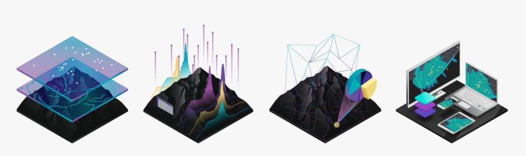
GIS technology helps derive insight from various types of data including maps, data, analysis, and apps. (via Esri)
GIS Use Cases
GIS platforms allow teams to easily convert spreadsheet data into attractive visual illustrations of sales figures by department or sales representative, competitor locations and consumer demographics. Benefits include:- Maps automatically update themselves when you modify or add data.
- Maps usually comprise layers so you can create presentations with multiple data views, e.g. sales by territory, salesperson or dealership.
- Today’s GISs have human-friendly interfaces with the complex algorithms and mathematical calculations completely transparent to the user.
- Maps are interactive – users can pan regions, zoom in to data of interest, click on markers to view additional information and adjust the data view. They can even manipulate data on-the-fly.
GIS Files and Formats
- Data Formats: GIS data is stored either as a vector (which describes the coordinates of the data, e.g. the beginning and end of a line, and other data attributes) or raster (a bitmap, e.g. TIFF or JPG, which is usually used to display images).
- Shapefiles: These are vectors that contain data information, including the geometry type, some data attributes and the type of coordinates being used for the data’s location. You can find interesting Shapefiles for the type of data you want to map using a search engine (e.g. use Google to find Shapefiles for homicides in New York) or input data from your organization’s sales spreadsheets.
- Geometry Type: This is a line, polygon or point.
- File Types and Storage: Data can be stored in simple CSV files, Google Earth’s KLM files, GeoJSON files (primarily used in APIs) and the raster option, GeoTIFF files (popular for images).